Gallery
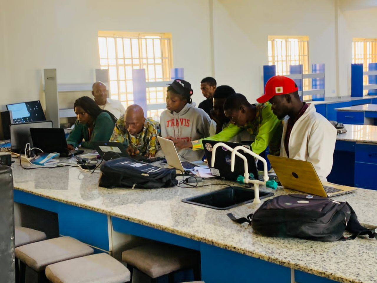
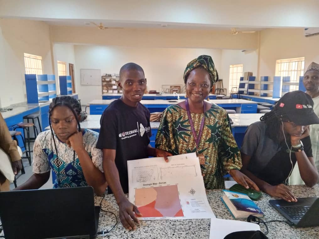
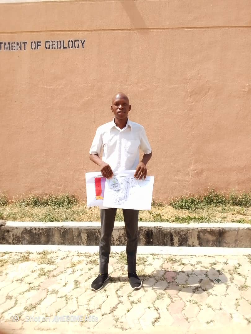
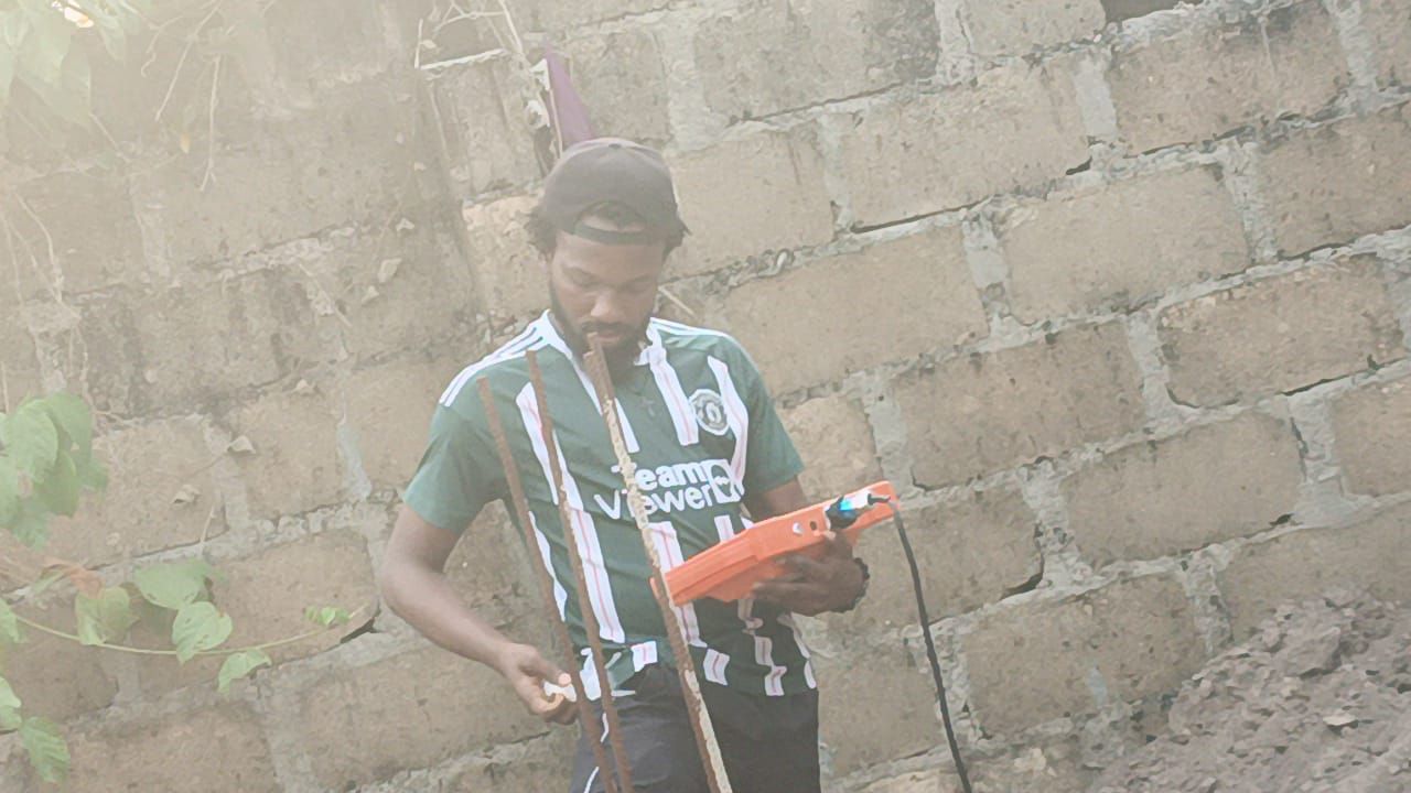
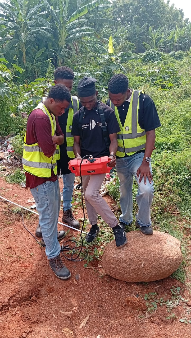
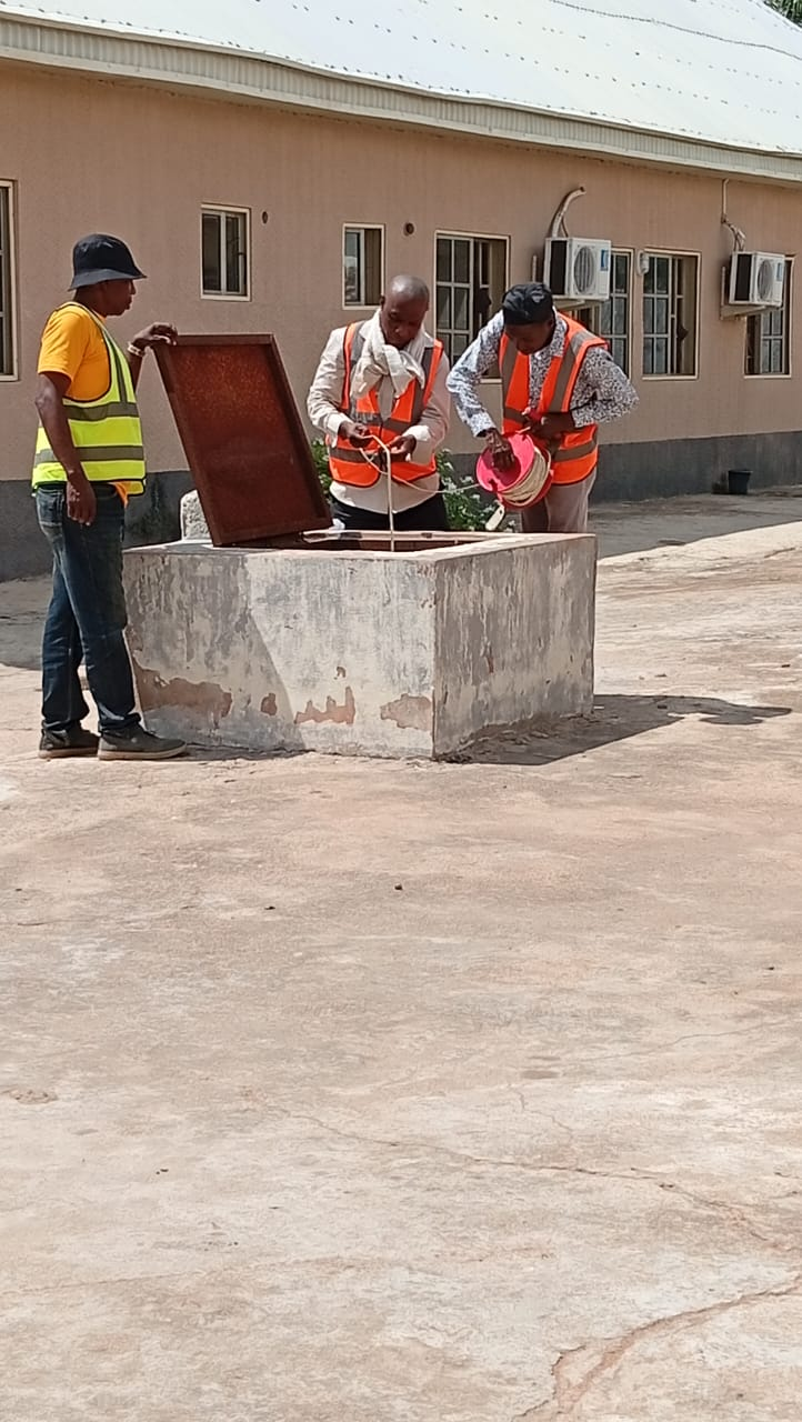
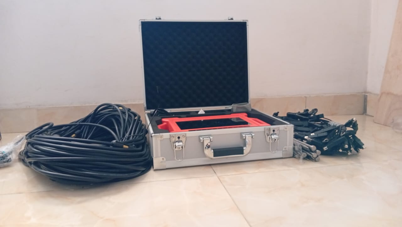
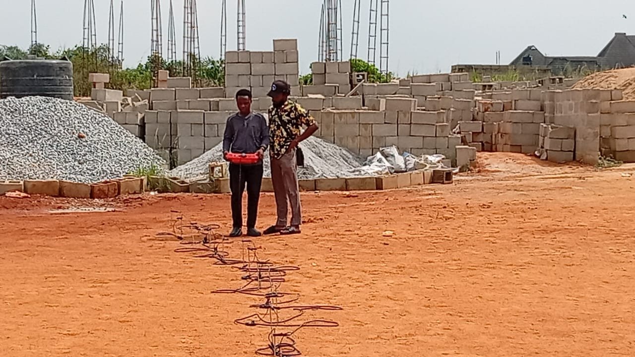
Explore our collection of fieldwork, training sessions, visualizations, and events.
Our Work in Action
Browse through images from our field activities, training sessions, project visualizations, and conference events.
Explore our collection of fieldwork, training sessions, visualizations, and events.
Browse through images from our field activities, training sessions, project visualizations, and conference events.